
Technology - Mar 2022
Reefs Vs. Waves
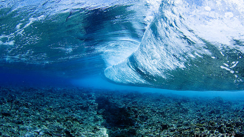
Reefs have been winning the battle against waves for millennia. How do they do it? And how can we, as engineers, replicate their success?
Read the post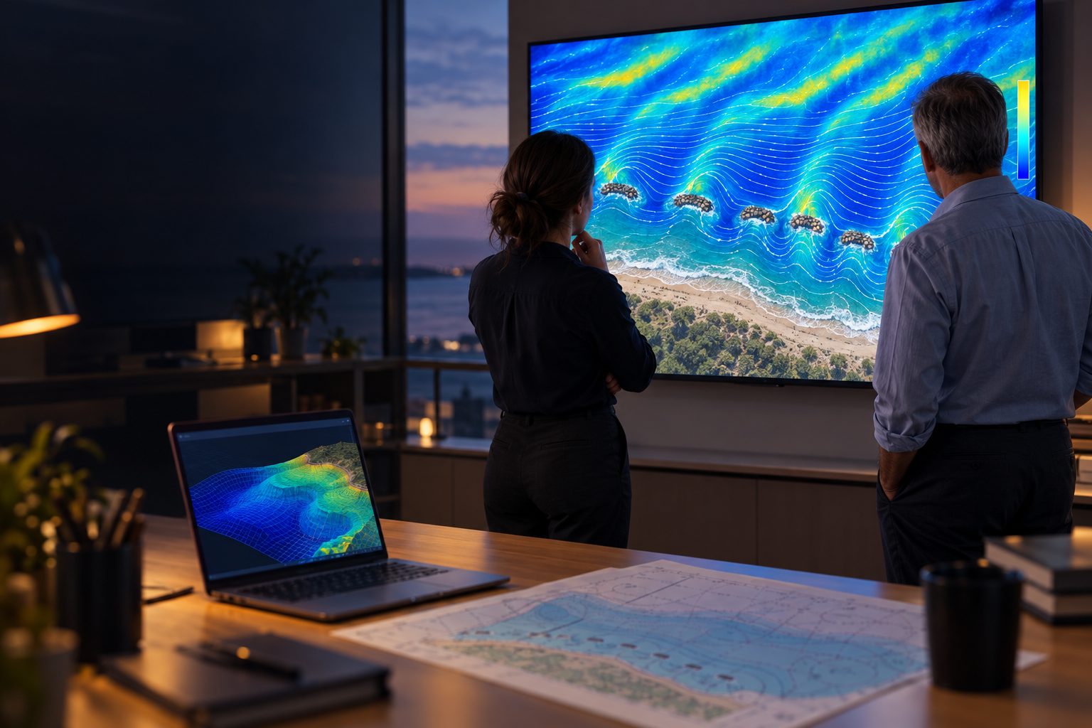
Add specialist wave, current and CFD modelling to your project or bid. Work with us as a subcontractor, a white-label team or a named partner. No reef purchase required.
Regional coastal models are the right tool for most of the job. Some sites and decisions need a closer look than your current set-up can give.
Reefs, structures, steep bathymetry or unusual wave climates that need finer resolution.
A deadline is coming and your modellers are already committed elsewhere.
Specialist CFD capability named in your proposal, without the cost of hiring for it.
Nature-based and traditional solutions tested side by side, on the same site data.
A few decades of buoy data rarely contain the extremes a structure must survive. We simulate thousands of years of sea states so they do.
Regulators want to see what your project does to waves, currents and neighbouring shorelines.
Porous, living structures behave differently from rock and concrete. We model them properly, side by side with conventional options.


We fit around how your project is set up. Your client relationship stays yours.
We deliver a defined modelling work package within your project and report to your project lead.
We do the modelling, and you present it under your name, with full confidentiality.
CCell named in your bid as the specialist modelling partner, adding a recognised capability to your proposal.
A short scoping stage agrees the data, physics, domain, resolution and scenarios before anyone commits to a full model.
30 minutes on your site, your question and your deadline. We tell you honestly whether our models will add value.
Book a callData review, model choice, domain and boundary conditions, scenarios and uncertainty. A clear plan and fixed price for the work.
A targeted study of one question, such as wave transmission, run-up, overtopping or local forces on a structure.
Site-wide waves, currents and sediment, calibrated against measured data, with scenario comparisons.
When we surveyed the coast the following year, damage to coastal property was concentrated where there was no offshore reef. Where reefs were present, larger waves broke further out and sand built up behind them.
More on our modelling[Model vs measured wave data at a named site, with the error statistics. This is the single most important proof point for this audience.]
See all our modelling case studies
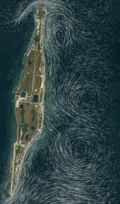
Coastal modelling of waves and currents around the island.
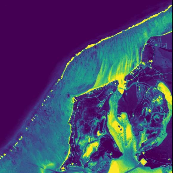
Bathymetric and site survey with our partners AxisIMA.

Around 95 percent of homes in Eight Mile Rock were damaged. Damage was concentrated where there was no offshore reef.
CCell was founded by Dr Will Bateman, a chartered engineer whose PhD was in extreme ocean waves. Our modelling has been developed through projects funded by Innovate UK and EPSRC, with high-performance computing through the EU's Fortissimo programme and physical testing in university wave tanks.

More clients and regulators want nature-based options on the table. We model them properly, alongside conventional schemes.
CCell hyperboloid reef unit (CCell photo). Why we build reefs
No. Modelling is a standalone service. If the results point to a reef, that is a separate conversation, and only if you want it.
Bathymetry, any wave buoy or hindcast data and the project question. We fill gaps from global sources such as satellite, NOAA and Copernicus.
Our own high-performance CFD, SPH, coastal and stochastic models. We validate them against industry-standard SWAN, TELEMAC and XBeach, so you can see how they compare.
Agreed per project. White-label work is delivered under NDA, and your client never needs to know we were involved.
We confirm availability on the model-fit call and agree delivery dates in the scoping study.
Yes. Modelling for permit applications and environmental surveys is part of the service.
Reefs have been winning the battle against waves for millennia. How do they do it? And how can we, as engineers, replicate their success?
Read the post
Manufacture and installation of the CCell hyperboloid reef in the Yucatan, Mexico
Read the post
30 minutes with one of our modellers. You will leave knowing whether we can help, what data we would need, and a rough cost and timescale.
Prefer email? Paul Savill, Head of Client Services
paul@ccell.eco | +44 (0)207 690 0485