
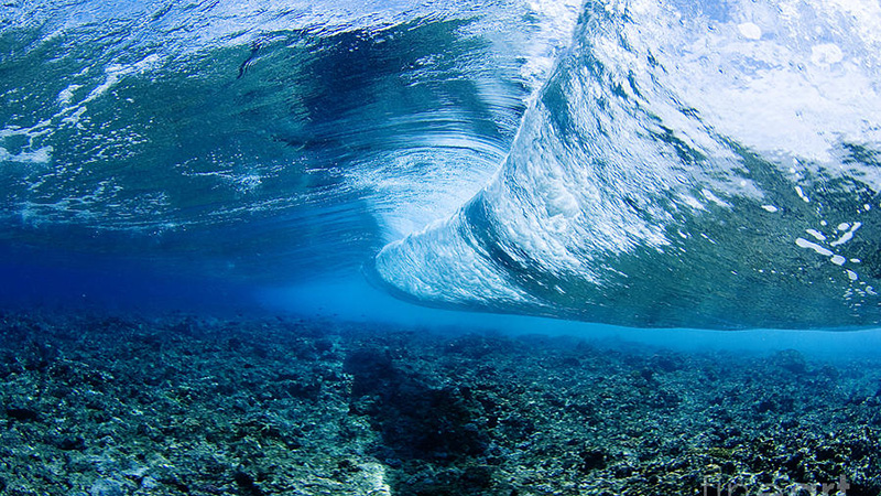
Technology - Mar 2022
Reefs Vs. Waves
Reefs have been winning the battle against waves for millennia. How do they do it? And how can we, as engineers, replicate their success?
Read the postEvery CCell project starts with a detailed model of the sea at your site: decades of measured data and thousands of years of simulated waves, currents and storms. It is why our reefs are sized and placed for your coast, not copied from somewhere else.
Many schemes are designed from a few decades of records and standard tables. We simulate the full range of what your coast is likely to face, today and under future climates.
The design is tested against thousands of years of conditions, including the rare storms.
No over-building to be safe, and no gaps where the sea finds a way round.
Results owners, councils, funders and regulators can follow, with the assumptions written down.

Models are checked against buoy records, satellite data and our own measurements from CCell Sense. We also test the erosion and storm surge they estimate against what actually happened in real events, so you can see how well they match before you rely on them.
Every code change and every new project is validated against standard codes such as SWAN and TELEMAC. Our models are tuned for each geography and for long-term analysis, and are typically 5-10 times faster than SWAN or TELEMAC with no loss of accuracy, using solvers that are more stable. They are also fully integrated, so the same chain can reproduce past changes in the coastline from real events and predict the long-term impact of climate change.
Each stage feeds the next, and each is checked against measurements before we move on. The models are our own and fully integrated, so nothing is lost between stages.
Decades of wave, wind and water-level records from NOAA, Copernicus, satellites and buoys, combined with bathymetry and site surveys we carry out ourselves.
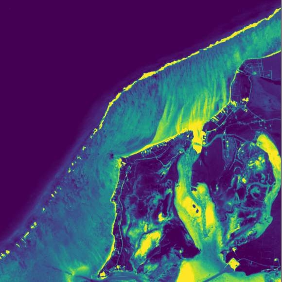
The model is trained on decades of historical data, so it learns how waves, periods, directions and water levels occur together, then generates thousands of years of realistic sea states, including joint extremes.

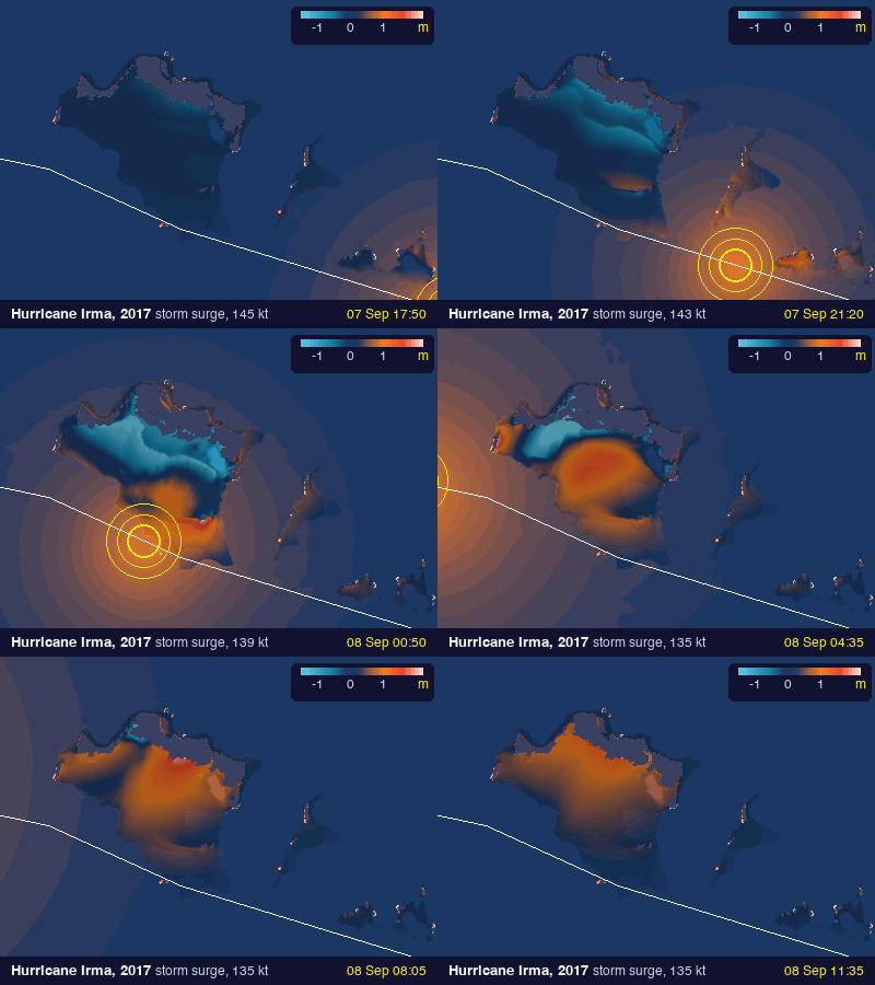
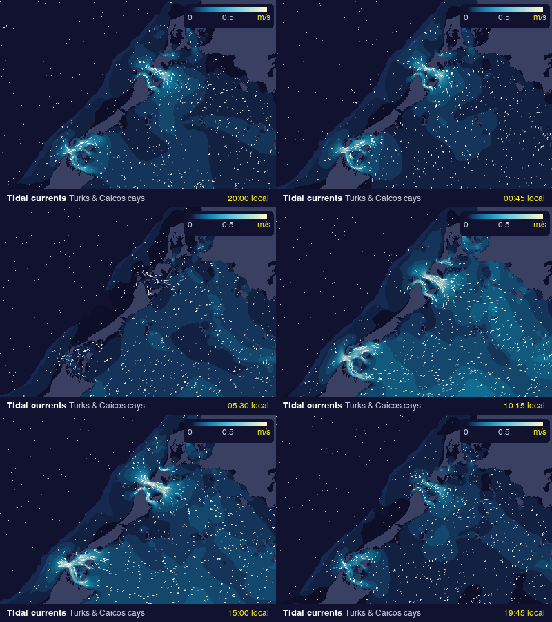
Our own coastal wave and hydrodynamic models carry those sea states to the coast, along with tides and currents, and hurricane-track and storm-surge models for the events that matter most in tropical regions. We check them against SWAN and TELEMAC.
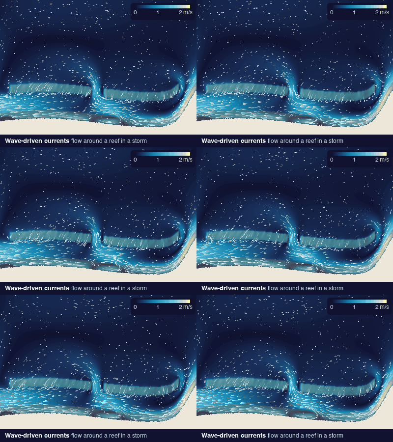
Our phase-resolving and SPH models capture waves breaking over reefs and beaches, and the currents they drive around the structure. We model sand transport and shoreline change through history, today and into the future, with and without a project.
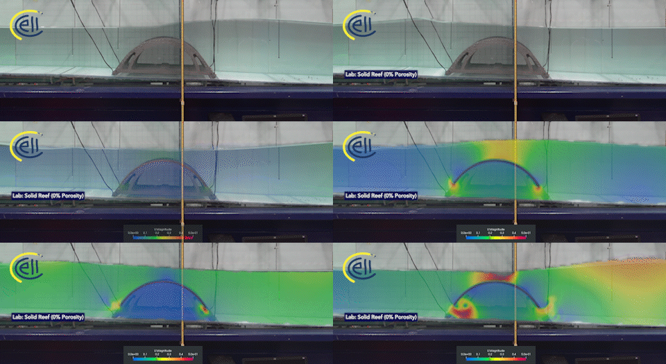
CFD and extreme non-linear wave models resolve flow through the reef itself: loads, porosity and wave breaking. Finite-element analysis then checks every member of the structure.


We test designs in university wave tanks and keep measuring after installation. CCell Sense data flows back into the models, so each project makes the next one better.
| Your question | What we model | What you get |
|---|---|---|
| Is my beach really at risk? | Shoreline history and wave exposure | A clear concern rating and what is driving it |
| Will a reef work here? | Waves, currents and sand with and without a reef | Predicted change to the beach and the water |
| What size, and where? | Reef layout options tested side by side | A design sized for your coast |
| Will it survive a hurricane? | Extreme events and forces on the structure | A design tested to agreed storm conditions |
| What about the neighbours? | Effects along the coast either side | Evidence for permits and stakeholders |

Hurricane Matthew damaged around 95 percent of homes in Eight Mile Rock. When we surveyed Grand Bahama the year after, damage to coastal property was concentrated where there was no offshore reef. Where reefs were present, larger waves broke further out and sand built up behind them.

The same models that size the reef also show how a scheme affects the coast around it.
How a CCell reef, power module and sensors fit together (CCell illustration). Why we build reefs
From resort beaches in the Caribbean to a monsoon coast in India and reef design in the Mediterranean: the question, what we did and what the model showed.
Wave modelling placed a 130 m reef that gained the beach about 181 m² of sand in six months.
Two reefs in series removed up to 40% more of the shorter waves than one.
Four wave datasets, extreme-value statistics, CFD and FEM behind a reef built to last.
Reefs have been winning the battle against waves for millennia. How do they do it? And how can we, as engineers, replicate their success?
Read the post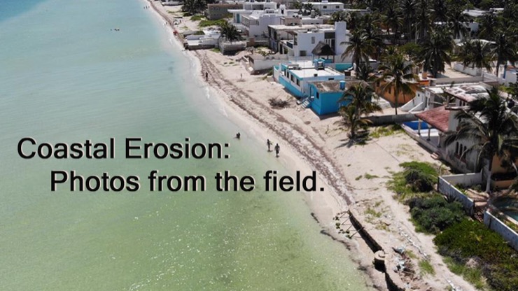
A look at the coastal erosion experienced by a town on the Yucatan peninsula, where CCell is in discussions with local authorities through local partners to bring about a solution as fast as possible.
Read the post
Manufacture and installation of the CCell hyperboloid reef in the Yucatan, Mexico
Read the postEvery CCell reef starts with modelling. Choose your route and we will show you the first step.
Specialist CFD and wave modelling for your project or bid, as a subcontractor, white-label team or named partner. No reef required.
Engineering and modelling partners